Mapping the Future of DFW Real Estate with AI
Jul 18, 2025
Planning approvals are usually the earliest signal about new real estate development, getting issued by local governments years before construction starts.
Until now, tracking all the approvals in a single market was a full-time job. You had to constantly check government websites for meeting notices and scan through countless PDF documents. In North Texas alone, there are more than 200 different jurisdictions to keep track of!
Civic Atlas does this work for you - turning 13,000+ planning cases into a unique source of off-market leads and insight on the future development pipeline.
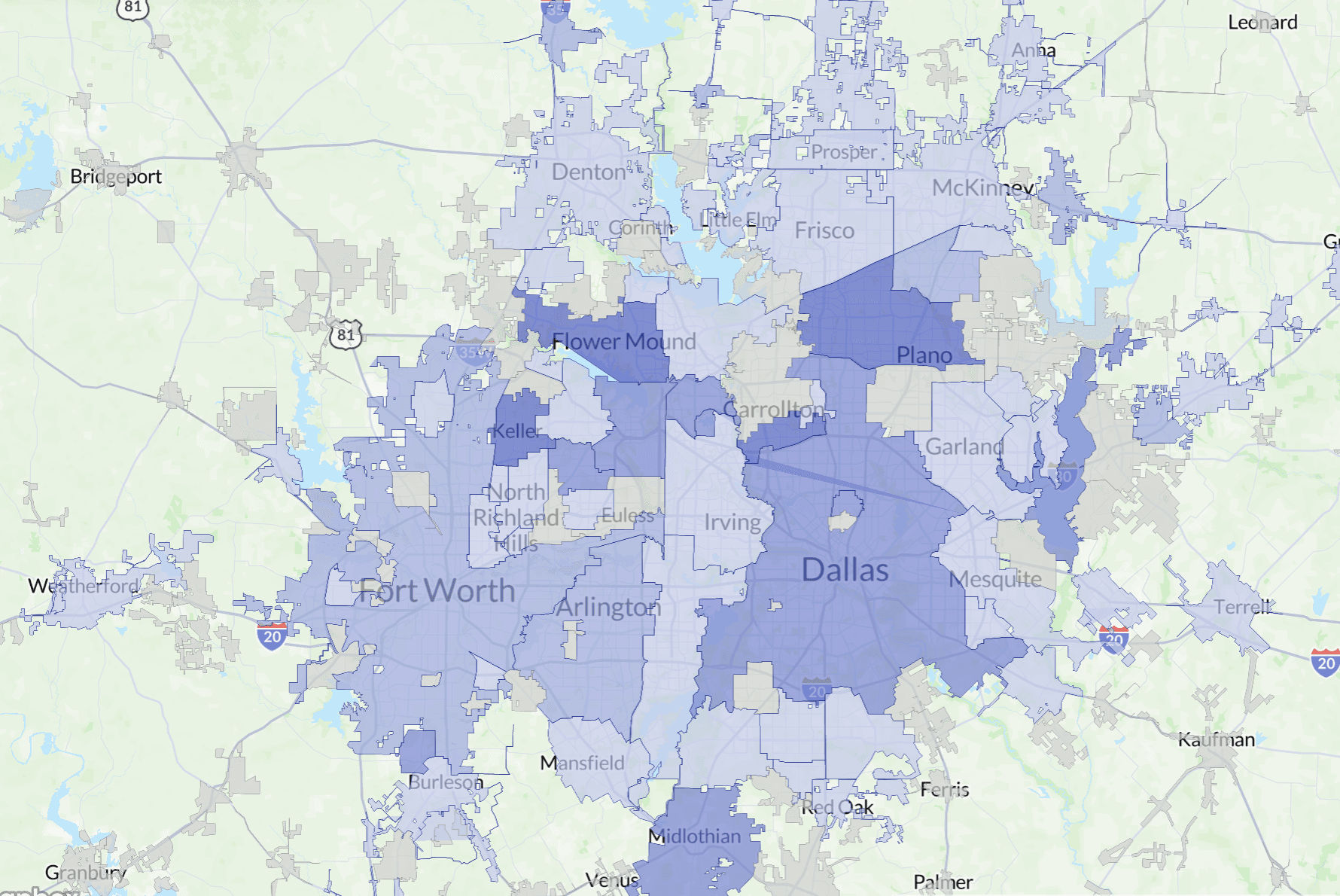
The Civic Atlas Platform
The heart of Civic Atlas is a set of proprietary web scrapers that check government websites daily for new planning and zoning cases.
On top of that, we use LLMs to extract all the data about each case from the meeting documents, including its owner, location, and a description of the proposed project.
Then, we tag each of these cases by asset class (single-family, retail, industrial, etc.) as well as the type of approval it seeking (re-zoning, replat, special-use-permit, etc.).
We also scan meeting minutes to find the results of each case, so that you can see which cases got approved or denied.
Then, we put these cases in an interactive map with custom filters so that you can see exactly where new projects are being proposed. It’s basically a map of North Texas 2-3 years in the future!
AI-Generated Tagging
Tagging helps our users filter down cases to just the ones they care about. (Like single-family replats, or new data centers)
Let’s go into detail about our current tagging system:
Asset Class
We’ve defined a list of commonly searched asset classes and ask the AI to match every case to the category that fits best, using the full context of the case. This lets us standardize cases even though cities use different land use categories.
We use the following categories for asset classes - If you have ideas for more, please let us know!
Single familyMultifamilyMixed-useIndustrialRetailFood & EntertainmentOffice & ProfessionalHospitalityAutomotive & DistributionAgricultureETJEducationOther
Case Type
Planning and zoning commissions grant a wide variety of planning approvals. Although the exact terminology varies by jurisdiction, we’ve found that the following terms cover the vast majority of cases.
Zoning ChangePlattingSite PlanSpecial Use PermitCode AmendmentComprehensive PlanVarianceOther
Result
For cities that post minutes, we’re able to show the results of each case, including approvals and denials. Cases marked “pending” are waiting for minutes to be posted. “Upcoming” cases are on future planning and zoning commission meeting agendas.
UpcomingApprovedDeniedPendingExtendedOther
What Can You Do with Civic Atlas?
Civic Atlas is a novel dataset that’s never existed before and isn’t available on traditional real estate platforms. Here are some of the ways that people are using Civic Atlas today:
Land Acquisition
Use the “Single Family",“Platting” and “Zoning Change” tags to find new off-market deal opportunities. Use our contacts to find who to call.
Brokers
Use the “Upcoming”tag to monitor activity near your listings or your client’s properties.
Business Development (Architects and Civil Engineers)
Use our keyword search to see what developers are being most active. Filter by “Denied” to find clients in need of entitlement guidance.
Real Estate Developers
Use the “Multifamily"tag to understand the upcoming development pipeline. Use any asset tag and see where cases are clustered on the map to find emerging markets.
Conclusion
Our mission at Civic Atlas is to bring clarity to the planning and entitlement process, starting with tracking case activity.
We plan on publishing more guides over the next few weeks to explore our data. In the meantime, if you’re interested in seeing the future and want to learn more, we’d love to chat!